WORLD
Magnitude 5.5 quake rocks eastern Indonesia
Jakarta, October 3, AZERTAC
A 5.5 magnitude earthquake has occurred in eastern Indonesia, the Indonesian Agency for Meteorology, Climatology and Geophysics (BMKG) said, according to Sputnik News.
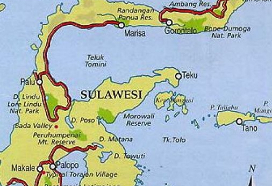
The epicenter of the earthquake was located 222 kilometers (138 miles) north-west of the Babar Islands in Maluku Province, and at a depth of 142 kilometers below the Banda Sea surface, the BMKG informed RIA Novosti.
No tsunami warning was issued and no immediate information on casualties or damages was available.
According to the Richter scale, earthquakes with a magnitude of 5.0-5.9 are considered to be moderate and can lead to casualties and cause damage to buildings and infrastructure.
Indonesia is part of the so-called Pacific Ring of Fire, an area in the basin of the Pacific Ocean where a large number of earthquakes and volcanic eruptions occur. The most active tectonic plates are located in this part of the world, one of which moves at a speed of seven centimeters a year. In this area, seismologists record six or seven thousand of earthquakes above 4.0. magnitude annually.
In 2004, a 9.2-magnitude earthquake hit Indonesia off the coast of Sumatra Island, triggering powerful tsunami waves that killed at least 220,000 people.