WUF13: Data-driven strategies and digital transformation in urban governance reviewed


Baku, May 20, AZERTAC
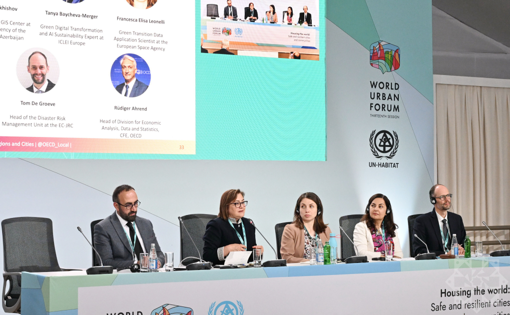
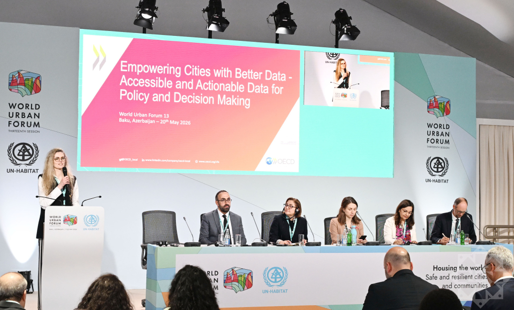
Sustainable urban development, digital transformation, and data-driven governance frameworks were evaluated today at a specialized session titled " Empowering Cities with Better Data - Accessible and Actionable Data for Policy and Decision Making," held within the framework of the 13th Session of the United Nations World Urban Forum (WUF13) in Baku.
International experts, municipal leaders, and representatives from multilateral financial institutions emphasized that open, verifiable data has become the decisive asset for modern municipal administration and public policy.
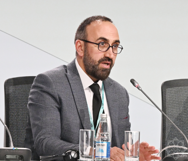
Ismat Bakhishov, Director of the Geographic Information Systems (GIS) Center under the Space Agency of the Republic of Azerbaijan (Azercosmos), pointed out that the contemporary challenge is no longer the raw availability of data, but its strategic, actionable synthesis.
Bakhishov further detailed the capabilities of the "Climate Report AZ" platform, which processes dynamic spatial datasets tracking water reserves, agricultural productivity, forestry health, and the ongoing drop in Caspian Sea water levels. He emphasized that the platform allows municipal planners to predict and model systemic risks associated with hydrological depletion well in advance.
Fatma Şahin, Mayor of Gaziantep, Türkiye, underscored the critical role of digital transformation and algorithmic decision-making in strengthening municipal resilience. She remarked that against a backdrop of escalating climate volatility and natural disasters, high-tech, centralized data management systems have become an absolute operational necessity for local governments.
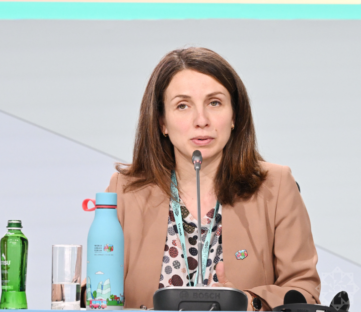
Francesca Elisa Leonelli, Green Transition Data Applications Scientist at the European Space Agency (ESA), noted that knowledge-sharing between municipalities leveraging Earth observation technologies creates a vital blueprint for other cities, driving the global scaling of data-driven administrative models.
Tom de Groeve, Head of Disaster Risk Management Unit at European Commission Joint Research Centre, stated that open, interoperable, and comparative geospatial databases are critical for structuring macro-level disaster risk assessments and engineering rapid-response early warning systems. He added that global frameworks like the Global Human Settlement Layer (GHSL) are now widely utilized to monitor the intersection of rapid urbanization and physical climate vulnerabilities.
The roundtable concluded by reiterating that keeping spatial data open, accessible, and cross-functionally integrated remains a fundamental prerequisite for building more resilient, safe, and inclusive urban ecosystems worldwide.
Other news in this section


